The Friends of Harold Parker are pleased to bring you this guide to the Forest’s trails, landmarks and natural features, including a full-color 24-inch waterproof, folding map. Our 2020 update includes the color-coded loop trails.
HPSF Marked Trail Descriptions
Please be aware that all the trails in HPSF are multi-use. Be prepared to encounter a variety of trail users including: Equestrians (horses), walkers with or without dogs, hikers, trail runners, mountain bikers, etc. Always yield right-of-way to equestrians, keep your dogs leashed and wear bright colored clothing during hunting season in the fall.
CCC Trail (Orange Markers)
The CCC Trail is a point to point trail, 3 miles in length. The western terminus at the Chimney Lot is on HP Rd near the western end of the park and the eastern terminus is the Park HQ on Middleton Rd. This description follows the trail from west to east (Chimney Lot to the Park HQ).
The CCC Trail begins at the back of the Chimney Lot and follows the main trail / fire road around the north side of Brackett Pond, past A20, A19 and A18. Turn left on Phillips Rd and bear right at A17. Turn right before reaching A16 and take the boardwalk that was built by the Friends of HPSF and NSNEMBA in 2019 across a swampy area. Optional loop trail to the right, otherwise continue straight past A14, A12 and A11. Pass the Jenkins Mill site and turn left across a bridge. Proceed to the Glacial Erratic and continue to Jenkins Rd. After crossing Jenkins Rd at A8, go over a bridge next to a beaver dam and proceed to A7. Go straight at A7 and proceed to A6 and A5. The section between A7 and A5 is more difficult (expect rocks and roots). Go straight at A5 (cross Berry Pond Rd), cross a bridge, turn right at NA21 and proceed to NA19. The section between NA21 and NA19 is more difficult with rocks and roots and stone wall crossings. Turn right at NA19 and follow the fire road. Turn left at NA18 and bear left at NA16. Continue straight to NA15 and the Park HQ across Middleton Rd.
Stearns Pond Trail (Blue Markers)
The Stearns Pond Trail is a 3.1 mile loop, beginning and ending at the Park HQ. This description follows the trail counterclockwise.
Start at Gate 3, follow the paved Beach Rd to Gate 4 and turn left. Proceed around Stearns Pond on the main fire road (Stearns Pond Rd). After leaving the pond, turn left onto a singletrack trail and proceed to HP Rd. Cross HP Rd at NA30 and continue straight at NA31. Bear left at NA32 and continue on to NA33. The section between NA32 and NA33 has some rocky areas and some steep, short climbs and descents. This section was improved by the Friends of HPSF and NSNEMBA and a new bridge was built in 2018. Go straight at NA33 and bear right at NA34 on Pine Rd. Soon after NA36, the trail turns sharply to the left and becomes singletrack with some challenging sections. Cross HP Rd again and proceed to the Park HQ.
Sudden Pond Trail (White Markers)
The Sudden Pond Trail is a 1.6 mile loop, beginning and ending at Gate 4 near the Park HQ. This description follows the trail clockwise.
From Gate 4, head away from Middleton Rd, turn right at NA2 and proceed to NA4. Beware of horses in this area. Turn right at NA4 and go around the west end of Sudden Pond. At NA7, turn right on the paved Sudden Pond Rd and proceed to Gate 5. Turn left at Gate 5 on Middleton Rd, take the first right at Gate 6 and follow a fire road to NA8. Turn right at NA8 and follow an old woods road to NA13. Turn right at NA13, take the fire road to NA14. Gate 4 is to the left across Middleton Rd.
Berry Pond Trail (Green Markers)
The Berry Pond Trail is a 2 mile loop that starts and ends at the Jenkins Parking Lot. This description proceeds in a clockwise direction. From the Jenkins Lot (Gate 13), start out on Berry Pond Rd and take the first left on a singletrack trail. Proceed past A6 to A5 where the trail crosses Berry Pond Rd. At NA21, turn left on the Stone Dust Trail and proceed to the Pavilion. Go to the far end of the parking lot and turn right at NA22. Take the first left on a singletrack trail, turn right on an old woods road proceed to NA19 and NA18. Turn right at NA18 on Harold Parker Rd (fire road) and continue past A3 to return to the Jenkins Lot.
Friends Loop (Red Markers)
The Friends Trail is a two mile loop that goes around Collins and Brackett Ponds. Begin at either the Chimney or Collins Lot.
Yellow Diamond Trail
The Yellow Diamond Trail, 3 miles in length, was designed for mountain bikes. It begins at the Jenkins Parking Lot and is marked with yellow markers. It includes many sections of technical singletrack intended for advanced intermediate to expert level mountain bikers. This is not a trail for beginners!
Start at Gate 13 and head up Berry Pond Rd. Turn right at A4 on a singletrack trail and proceed past the old Dynamite Storage Shed. At A3, bear right and turn left on the Unibomber Trail (technical singletrack). At NA17, the YDT crosses a fire road and joins the Salem Pond Loop. Proceed on this loop in a counterclockwise direction. The trail crosses a fire road at NA11 and becomes the Terry Trail. At NA10, the YDT crosses Salem Pond Rd and follows a singletrack loop which returns to Salem Pond Rd at NA9. Turn right, go over the bridge at the south end of Salem Pond, bear left and follow the trail around the east side of Salem Pond. The trail crosses Upper Salem Pond Rd and eventually comes out on the CCC Trail near NA16. At NA16 there are two options for returning to the Jenkins Lot: 1) Go to NA17 and take the Unibomber trail (turn right at NA17) and follow the YDT back, or 2) Take the CCC (Orange) Trail to NA18, bear left and return to the Jenkins Lot on the Berry Pond (Green) Trail. Option 2 is the easier, fire road route.
Bay Circuit Trail
The Bay Circuit is a permanent recreation trail and greenway extending through 37 towns in Eastern Massachusetts, linking parks and open spaces in fifty-seven Boston area communities. In HPSF, the BCT follows a mixture of old woods roads, doubletrack and singletrack trails. Going from west to east, it enters HPSF from the adjacent Skug Reservation near the Jenkins Mill Site. The BCT and the CCC Orange Trail follow the same trail from the Glacial Erratic, across Jenkins Rd to NA21. At NA21, the BCT splits from the CCC Trail and heads north, crossing Middleton Rd at NA22/23 near the Pavillion Lot. Proceed to NA24 on an old woods road and bear right. Bear right at NA25 and follow the Ledges Trail to NA26. The BCT meanders through the northern part of HPSF before coming out on Harold Parker Rd (North Andover) near the intersection with Rt 114. Cross Rt 114 and go straight on Berry St. Take the first right into a parking lot. The BCT continues out the back of the parking lot and soon exits HPSF.
2013 RMP Map
This map was created by the DCR planning unit in 2013 as part of the park's resource management plan.
SHARPNERS POND ROAD PARCELS
North Andover Trails created this map of the state forest parcels across Route 114. The Bay Circuit Trail links Harold Parker and Boxford State Forest via these trails behind the town recycling center.
Other Maps
Official DCR Map (PDF)
HISTORY
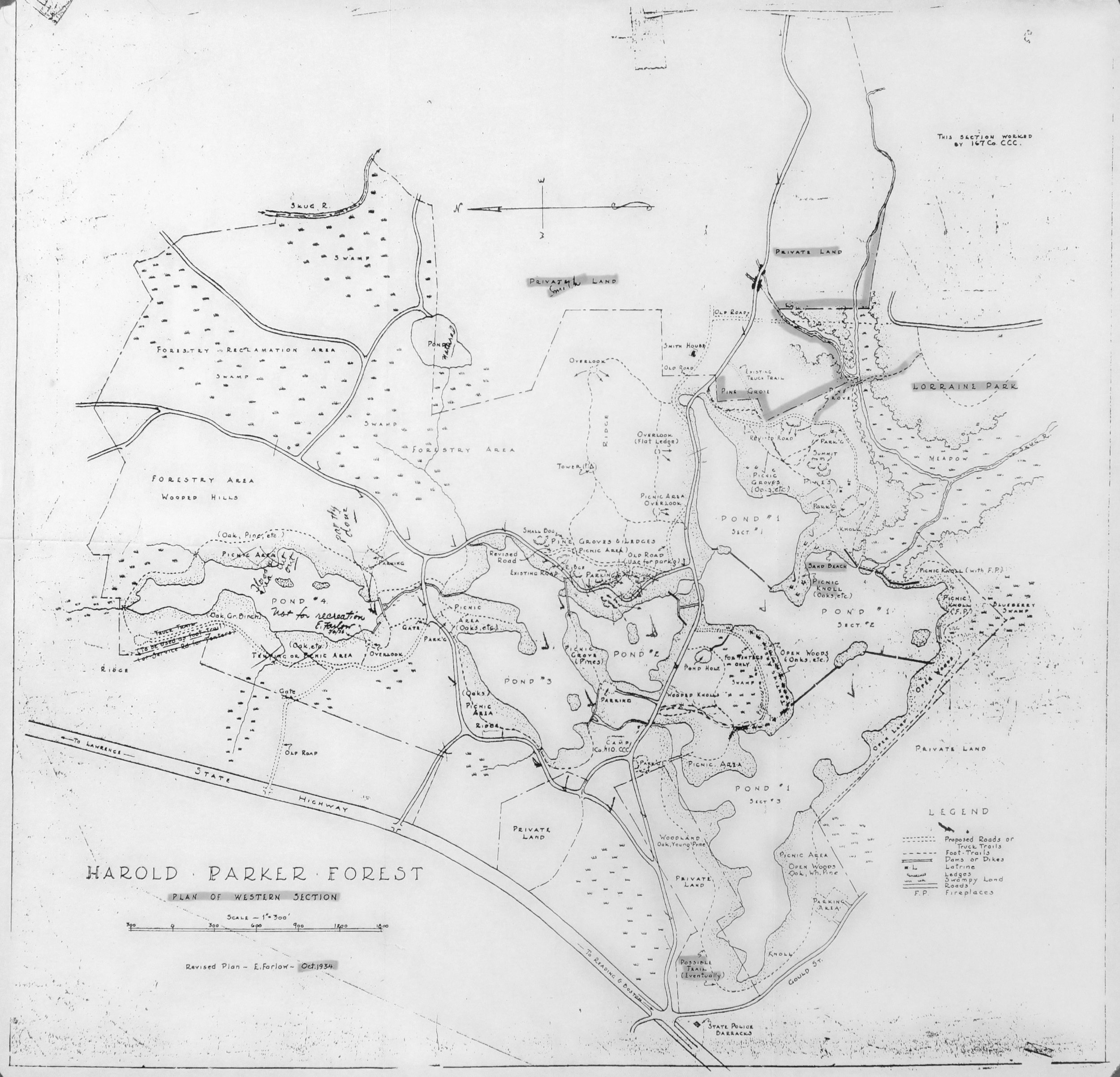
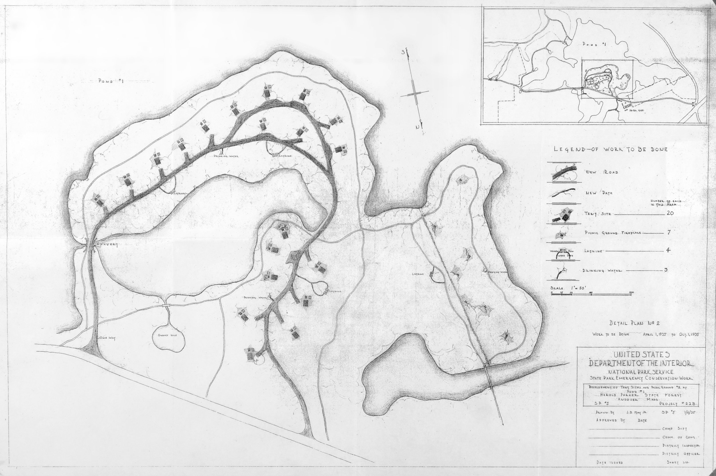
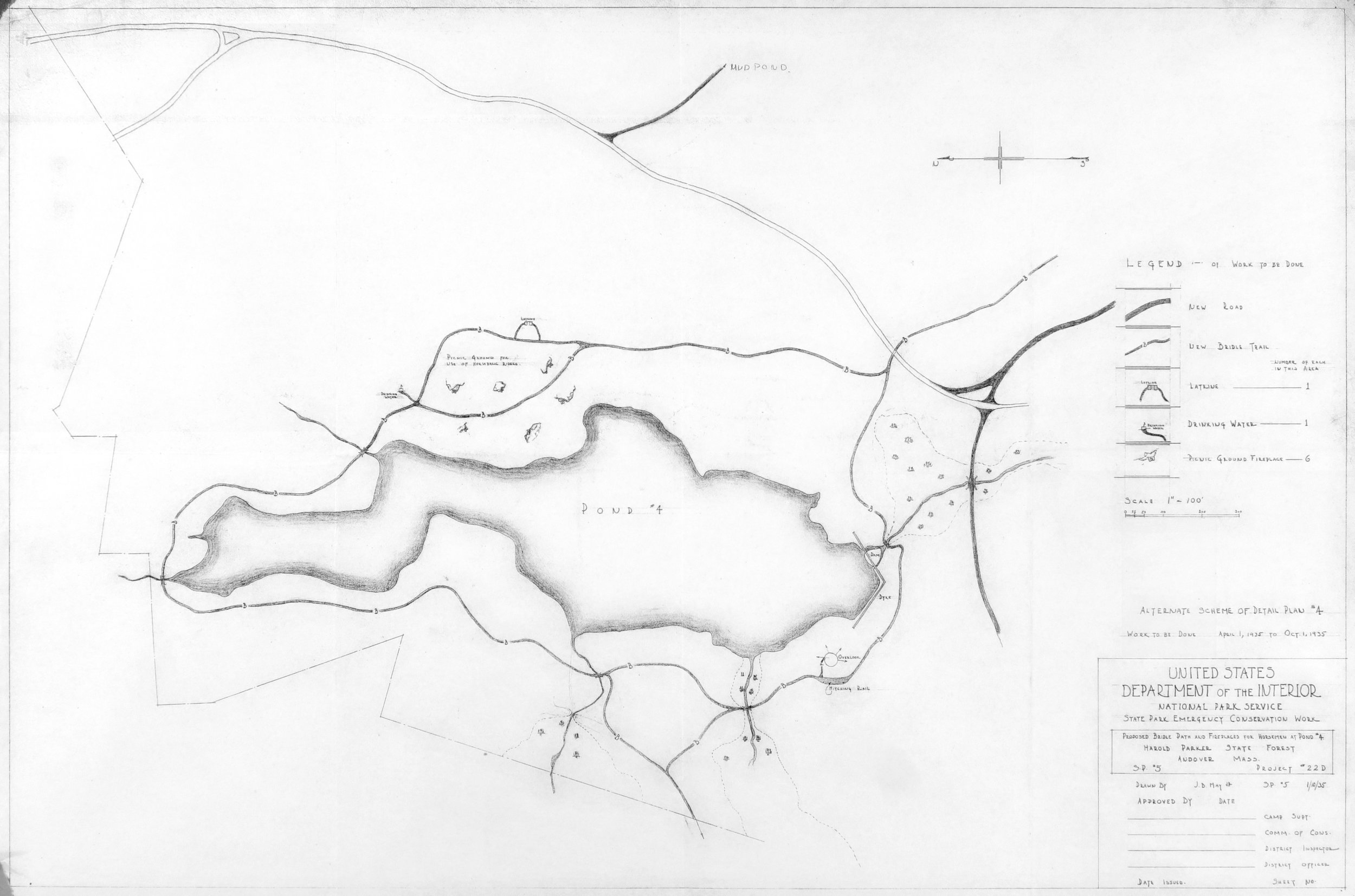
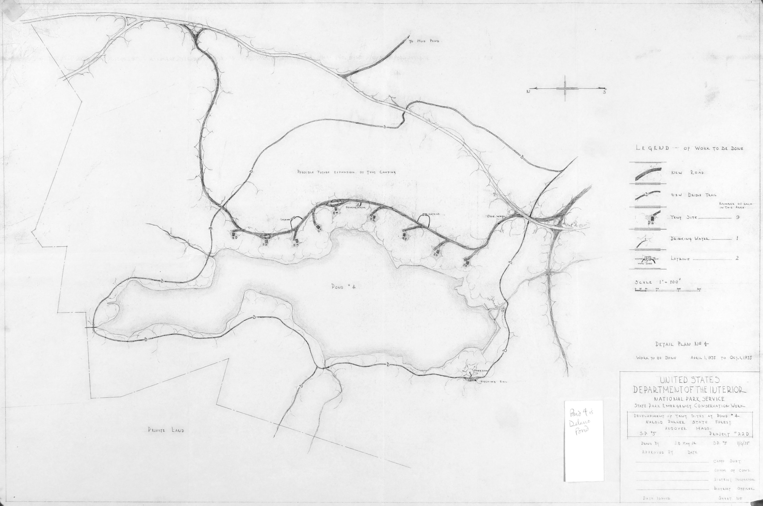
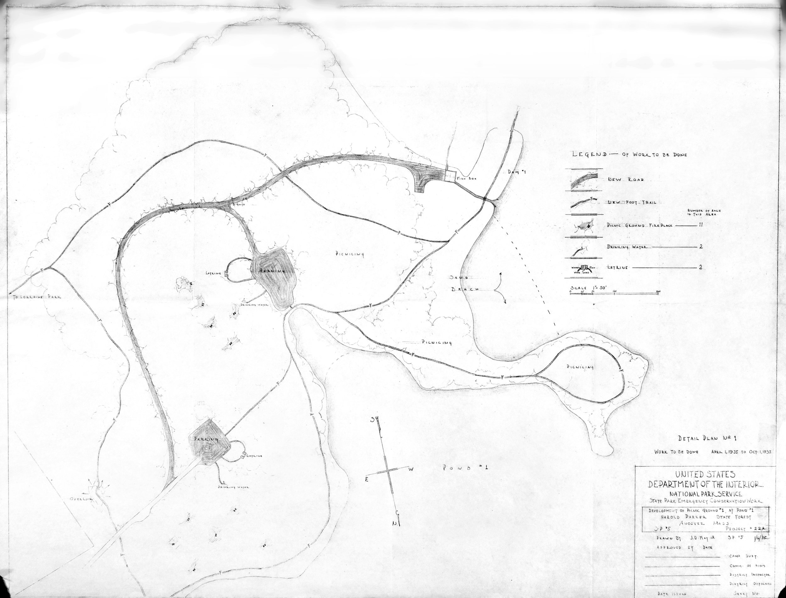
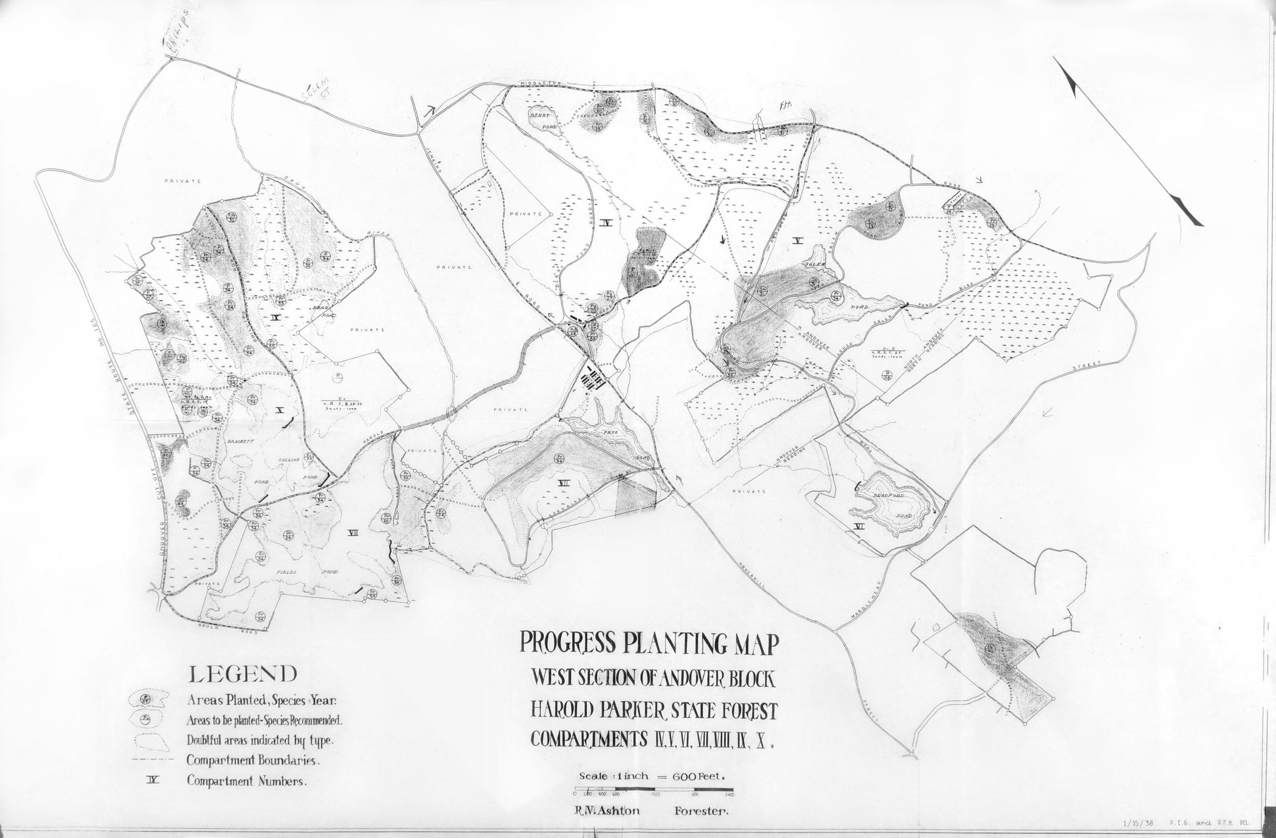
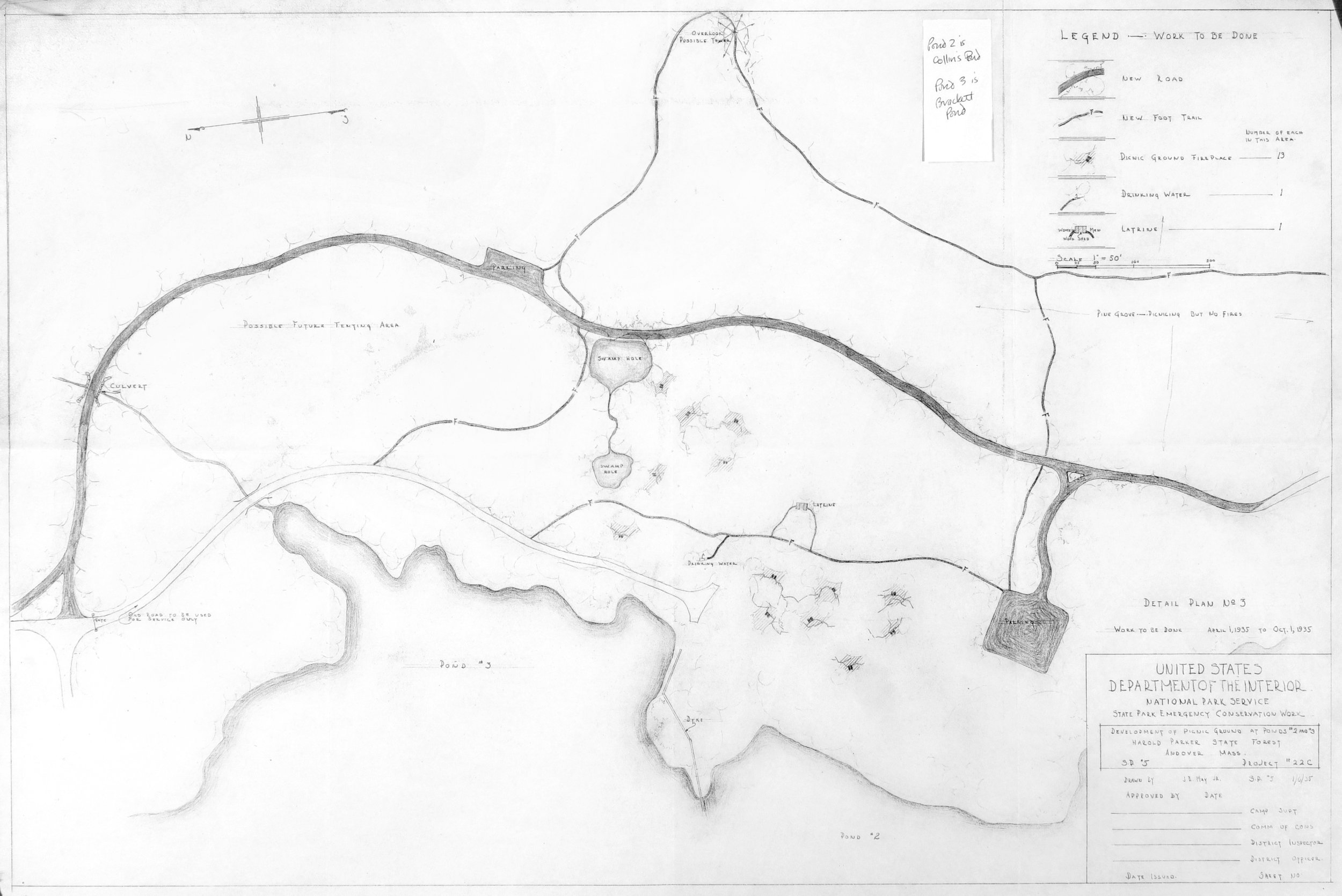
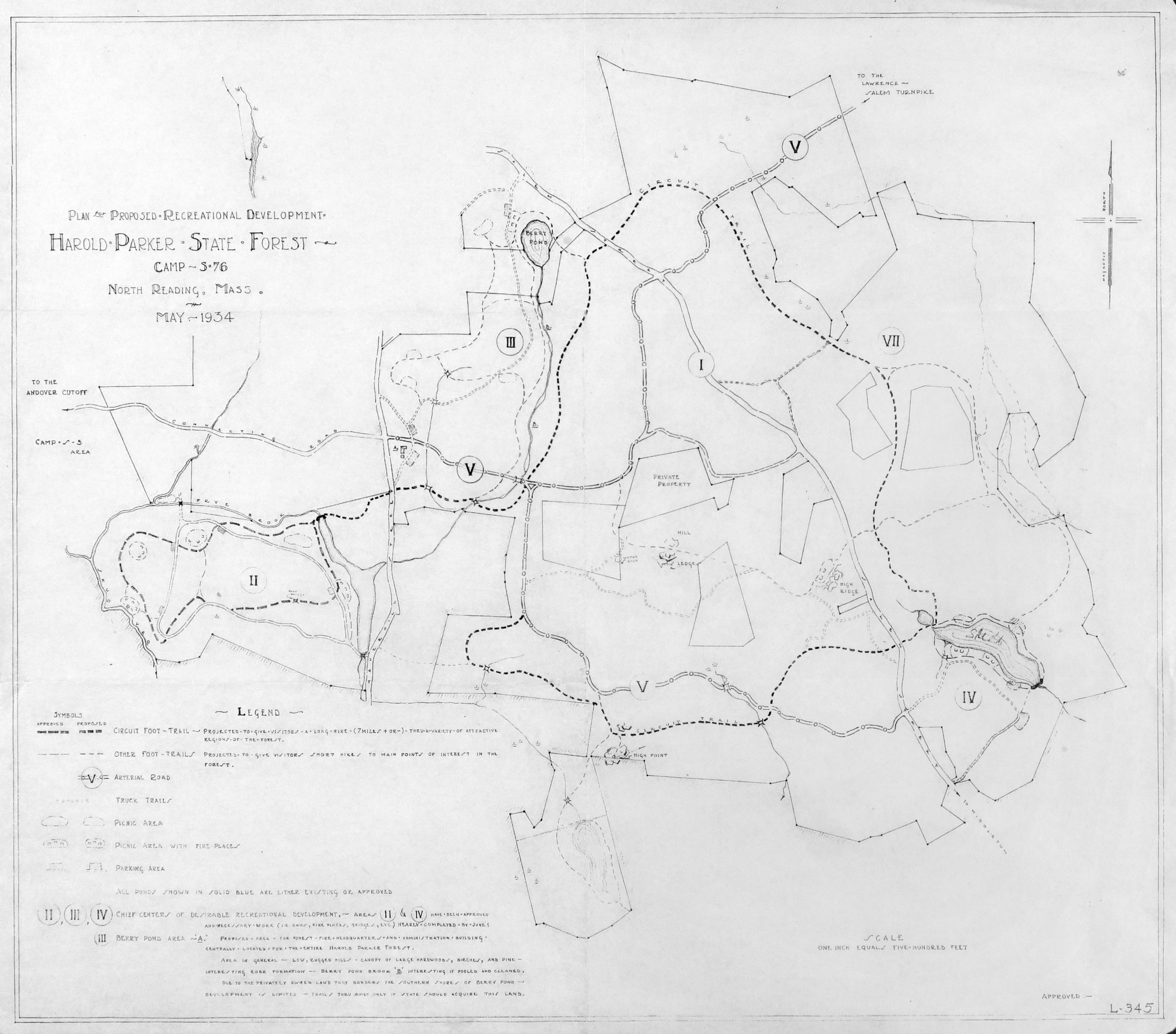
These old maps from DCR's archives show the Park Service and Civilian Conservation Corps activity through the 1920s and 1930s.
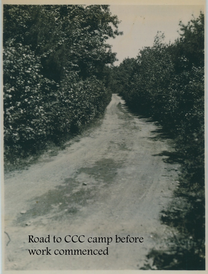
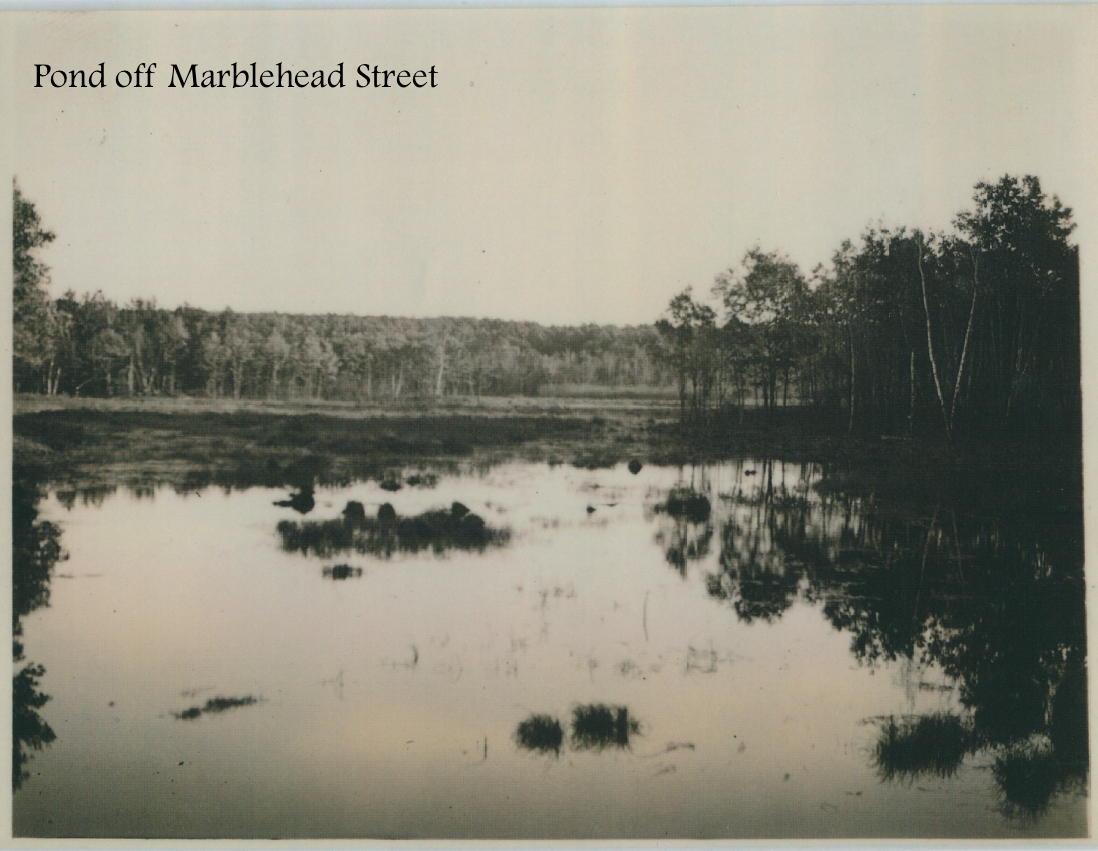
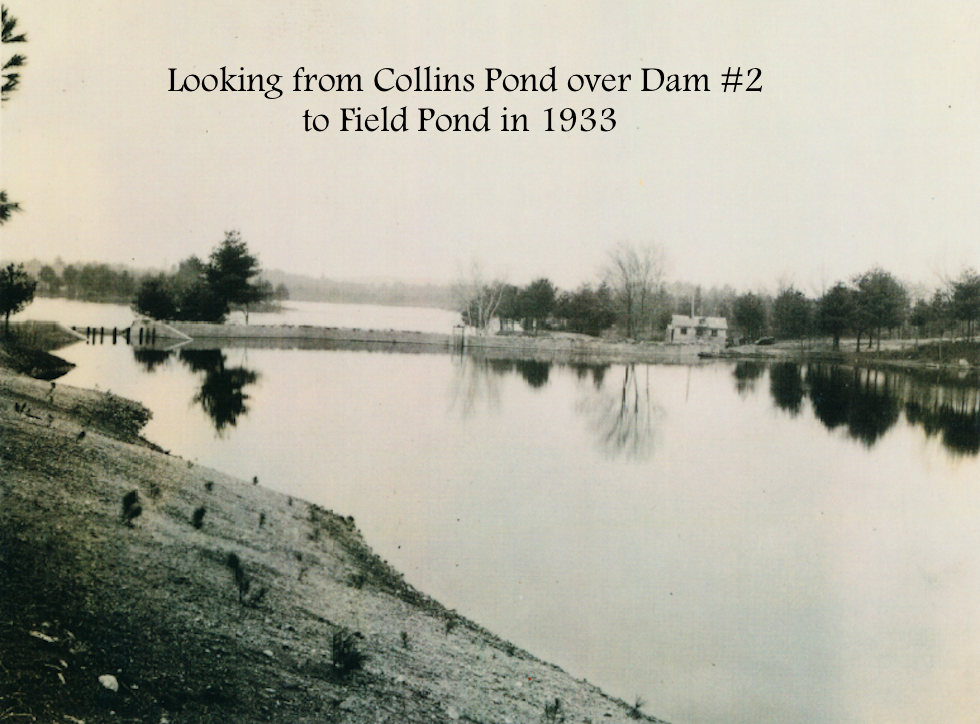
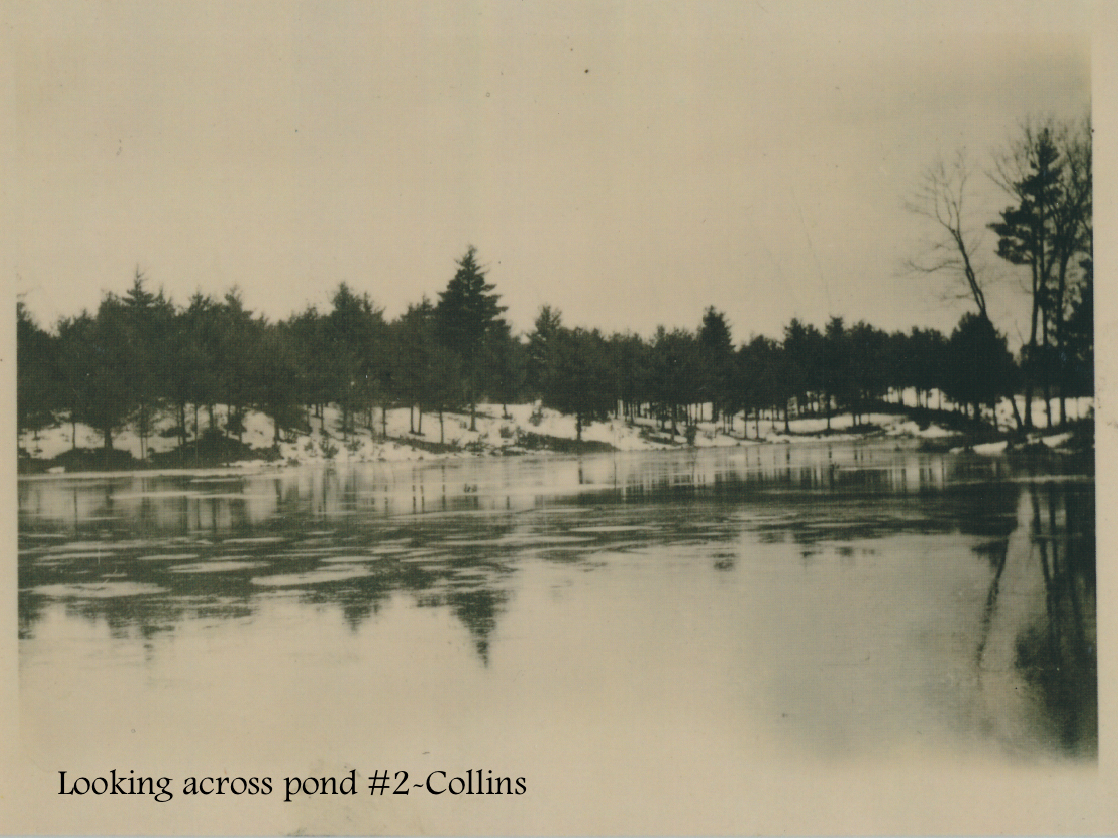
These photos digitized by Friends volunteers show the Civilian Conservation Corps working in Harold Parker throughout the 1930s.


